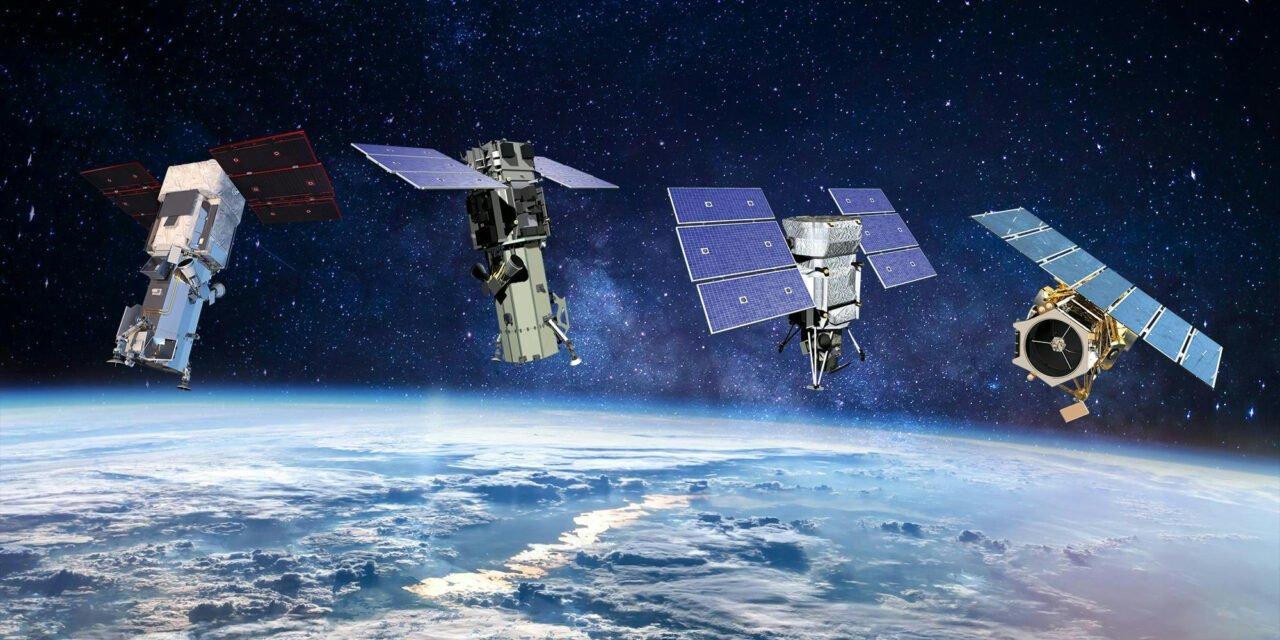
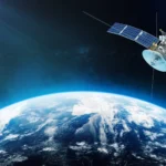
Spacecraft navigation and guidance systems are critical for deep space exploration, ensuring that a spacecraft travels accurately to its destination, performs precise maneuvers, and completes its mission objectives. These systems must operate autonomously in the vastness of space, where traditional navigation methods like GPS are unavailable. Here’s how these systems function:
1. Key Components of Navigation and Guidance Systems
- Inertial Navigation System (INS):
- Uses gyroscopes and accelerometers to measure changes in velocity and orientation.
- Provides real-time position and velocity updates based on the spacecraft’s initial known location.
- Star Trackers:
- Optical sensors that observe star patterns to determine the spacecraft’s orientation.
- Compare observed star fields with onboard star catalogs for precise attitude determination.
- Sun Sensors:
- Detect the Sun’s position to assist in determining spacecraft orientation.
- Deep Space Network (DSN):
- Ground-based radio antennas track spacecraft and provide position and velocity updates.
- Measures the Doppler shift of radio signals and the time delay to calculate distance and velocity.
- Optical Navigation (OpNav):
- Cameras onboard the spacecraft capture images of celestial objects (e.g., planets, moons, or stars) for navigation purposes.
- Onboard Computers:
- Process sensor data, calculate trajectories, and execute commands for course corrections.
2. Navigating in Deep Space
Trajectory Determination
- Initial Trajectory Calculation:
- Trajectories are planned using precise orbital mechanics before launch.
- Ground-based systems calculate the spacecraft’s path to ensure it intersects with the target, considering gravitational influences from celestial bodies.
- Midcourse Corrections:
- Small thruster burns adjust the spacecraft’s trajectory to account for deviations caused by navigation errors or unexpected forces (e.g., solar radiation pressure).
Position and Velocity Measurement
- Doppler Shift:
- The frequency shift in radio signals sent to and received from the spacecraft is used to calculate its velocity relative to Earth.
- Two-Way Ranging:
- Ground stations measure the time taken for a signal to travel to the spacecraft and back, determining its distance.
- Delta-Differential One-Way Ranging (Delta-DOR):
- Uses multiple ground stations to pinpoint spacecraft location more accurately by measuring phase differences in received signals.
Attitude Control
- Orientation Control:
- Reaction wheels or control moment gyroscopes adjust the spacecraft’s orientation for precise pointing of antennas, instruments, or propulsion systems.
- Thrusters:
- Used for fine-tuning orientation or desaturating reaction wheels when their angular momentum builds up.
3. Challenges in Deep Space Navigation
Vast Distances
- Signals take longer to travel to and from the spacecraft as it moves farther from Earth.
- Example: Signals to and from the Voyager spacecraft, located billions of kilometers from Earth, take over 18 hours for a round trip.
Limited External References
- With no GPS or fixed landmarks, spacecraft rely on celestial objects and onboard sensors for navigation.
Gravitational Influences
- Trajectories are affected by the gravitational pull of celestial bodies, requiring precise modeling and continuous monitoring.
Time Delays
- Communication delays necessitate autonomous systems capable of making real-time decisions without relying on ground control.
4. Guidance System Functionality
Course Planning
- Pre-Launch Planning:
- Ground-based simulations determine the optimal trajectory to minimize fuel use and time.
- Gravitational Assists:
- Spacecraft use gravity from celestial bodies to alter their speed and trajectory efficiently.
- Example: The Voyager missions used multiple planetary flybys to gain momentum for their journeys.
Autonomous Navigation
- Spacecraft equipped with autonomous navigation systems can make real-time adjustments using onboard sensors.
- Example: NASA’s Deep Space 1 mission demonstrated autonomous navigation using optical sensors and star trackers.
Target Approach
- As the spacecraft nears its destination, navigation becomes more precise, using optical navigation and radio tracking to ensure accurate orbit insertion or landing.
5. Examples of Navigation Techniques
Celestial Navigation
- Observing stars, planets, or the Sun to determine position and orientation.
- Example: The Apollo missions used sextants to verify their navigation using star sightings.
Gravity Assist
- Navigating through the gravity wells of planets or moons to gain velocity or alter course.
- Example: The Cassini spacecraft used Venus, Earth, and Jupiter for gravity assists to reach Saturn.
Autonomous Optical Navigation
- Imaging celestial bodies to determine position relative to the destination.
- Example: OSIRIS-REx used optical navigation to approach and orbit asteroid Bennu.
6. Mission-Specific Navigation Challenges
Mars Landings
- Entry, Descent, and Landing (EDL) requires precise navigation to account for atmospheric drag and terrain hazards.
- Systems like Terrain Relative Navigation (TRN) use onboard cameras to identify and avoid obstacles during landing.
- Example: Perseverance rover used TRN for its successful landing on Mars in 2021.
Interplanetary Missions
- Long durations and multiple gravitational influences require precise trajectory adjustments.
- Example: New Horizons used optical navigation and ground-based corrections for its flyby of Pluto.
Outer Solar System Exploration
- Diminished solar power and weak signals require highly efficient and reliable systems.
- Example: Voyager spacecraft rely on onboard power management and the DSN for navigation.
7. Advances in Navigation and Guidance Systems
- Artificial Intelligence (AI):
- Enables spacecraft to process data and make decisions autonomously, reducing reliance on ground control.
- X-Ray Navigation:
- Uses pulsars as “cosmic beacons” to determine position, similar to GPS.
- Example: NASA’s SEXTANT experiment demonstrated this technique.
- Quantum Sensors:
- Advanced gyroscopes and accelerometers improve precision by minimizing drift in inertial measurements.
Conclusion
Spacecraft navigation and guidance systems are essential for the success of deep space missions, enabling precise trajectory control, autonomous decision-making, and accurate target approach. Combining celestial observation, ground-based tracking, and onboard autonomous systems, these technologies overcome the immense challenges of navigating the vast distances and dynamic environments of space. As missions aim for more distant and complex targets, advancements in autonomous navigation, AI, and quantum technologies will continue to redefine the capabilities of spacecraft exploration.
Hashtags
#SpacecraftNavigation #GuidanceSystems #DeepSpaceNavigation #AerospaceNavigation #NavigationTech #DeepSpaceExploration #InterplanetaryNavigation #SpaceGuidanceTech #FutureOfSpaceNavigation #ExplorationSystems #AutonomousNavigation #SelfGuidingSystems #AIInNavigation #AutonomousNavigationTech #AdvancedNavigation #NextGenSpaceGuidance


